 tradivior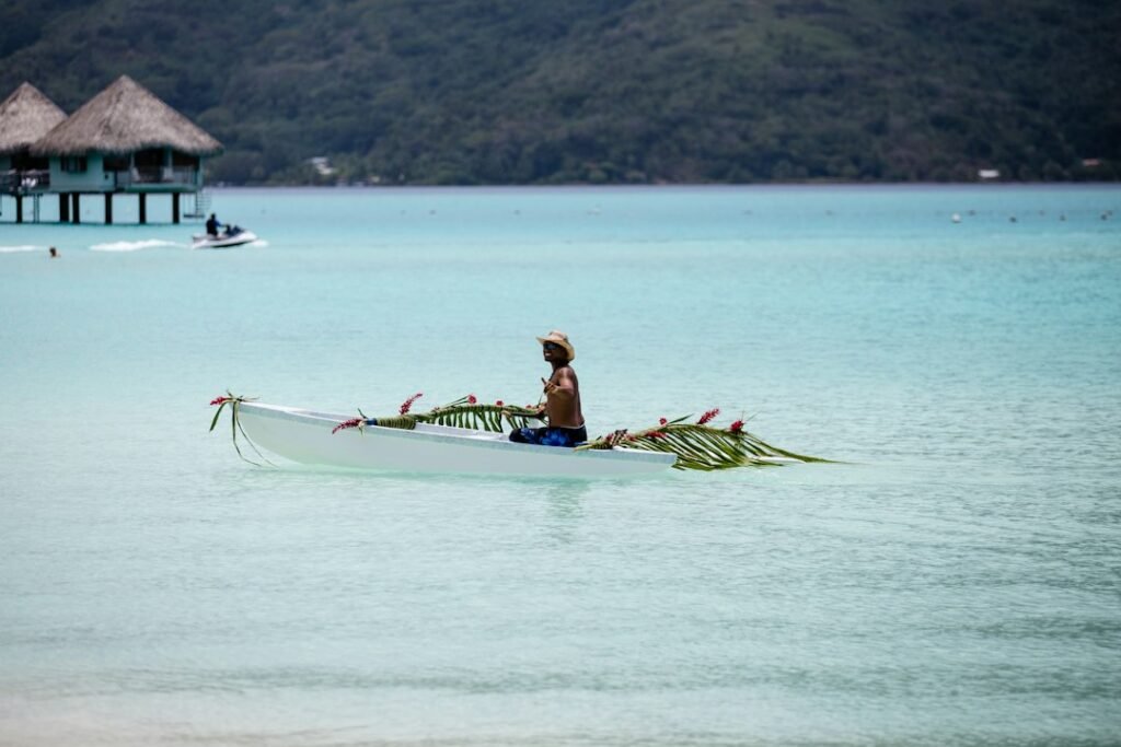
In this investigation
Indigenous navigators crossed oceans without modern instruments because navigation does not require a GPS coordinate if a voyager can maintain direction, estimate distance and recognize environmental patterns. Pacific navigators combined stars, ocean swells, winds, birds, clouds, water colour and memory into integrated wayfinding systems.
The achievement is extraordinary, but describing it as a mysterious sixth sense understates the trained observation involved.
Ocean navigation is a multi-cue problem
No single sign is reliable all the time. Stars disappear behind clouds, winds shift and birds range unpredictably.
Robust navigation therefore combines partially independent cues.
Star compasses organize direction
Micronesian and Polynesian traditions memorize where selected stars rise and set around the horizon.
A navigator can steer toward one star, then switch to another as the sky changes.
Ocean swells persist beyond local wind
Long-period swells generated far away can maintain a relatively stable direction.
Experienced navigators can feel swell patterns through vessel motion, even when visibility is poor.
Wave interference carries information
Islands can reflect, refract or disrupt swell patterns. Skilled navigators may recognize these changes near land.
The effect is subtle and requires extensive experience.
Birds indicate land under certain conditions
Some seabirds feed at sea but return to land regularly. Their flight direction near dawn or dusk can provide clues.
Bird behaviour is useful probabilistically, not as an infallible compass.
Clouds can reveal islands
Cloud formation may be influenced by islands, reefs or lagoons, and reflected lagoon light can alter cloud appearance.
Traditional navigators learn these visual patterns through apprenticeship.
Dead reckoning fills gaps
A navigator estimates direction and distance traveled from speed, course, wind and time.
Errors accumulate, so environmental cues are used to correct the mental track.
Mental maps can be non-Cartesian
Traditional route knowledge does not need a map with latitude and longitude. Islands can be represented relationally through sequences of bearings and cues.
This is a different information architecture, not an inferior one.
Marshall Islands stick charts encoded wave knowledge
Historical Marshallese charts used sticks and shells to represent swell patterns and island relationships.
They were teaching devices rather than nautical charts read continuously at sea.
Voyaging traditions suffered colonial disruption
Missionization, colonial schooling and motorized transport weakened some navigational knowledge systems.
Late twentieth-century revival voyages demonstrated that non-instrument navigation remained viable.
Hokulea became a major revival symbol
Polynesian voyaging projects used traditional wayfinding to reconnect communities with ancestral maritime knowledge.
The voyages were cultural revival as well as practical demonstration.
Why romantic language can be harmful
Calling expert navigation “instinct” or “magic” erases training, observation and intellectual discipline.
The evidence supports sophisticated environmental knowledge.
What survives scrutiny?
- Indigenous Pacific navigation integrates stars, swells, winds, birds and clouds.
- Star compasses provide directional structure without magnetic instruments.
- Experienced navigators can use swell patterns and dead reckoning effectively.
- Mental route systems need not use latitude and longitude.
- Modern revival voyages demonstrate practical viability.
- The skill is best understood as trained expertise, not supernatural perception.
The Tradivior Evidence Profile
Historical Authenticity — Strong. Ethnography, oral histories and voyage reconstruction document Indigenous navigation.
Original-Purpose Evidence — Strong. Long-distance voyaging and inter-island travel are explicit.
Scientific Mechanism — Strong. Astronomy, wave propagation, ecology and dead reckoning explain the cues.
Experimental Evidence — Strong for navigational mechanisms. Revival voyages and physical measurements validate key techniques.
Cross-Cultural Evidence — Strong. Comparable multi-cue navigation developed in different maritime regions.
Modern Relevance — Strong. Wayfinding revival supports heritage, education and ocean knowledge.
The Tradivior Conclusion
Indigenous navigators crossed oceans because they learned to read a moving environment as an information system.
The accomplishment is not less impressive when explained scientifically. It is more impressive: generations of training converted stars, waves, birds and clouds into a reliable navigational language without modern instruments.
Sources & further reading
- Lewis D. We, the Navigators.
- Gladwin T. East Is a Big Bird.
- Finney B. Scholarship on Polynesian voyaging and Hokulea.
- Research on Marshallese wave navigation and stick charts.
Continue exploring
Evidence Supported
Why Do Cultures Set Aside Days to Remember the Dead?
From Pitru Paksha and Qingming to Día de Muertos and All Souls’ Day, cultures repeatedly create calendar time for the dead. Tradivior will compare how recurring remembrance renews kinship, grief…
Partially Supported
Why Do People Keep Ashes, Relics and Memorial Objects?
Hair, ashes, bones, clothing, photographs and relics allow the dead to remain materially present. Tradivior will examine why objects carry memory so powerfully and how continuing bonds differ from pathological…
Historically Practical
Why Do Cultures Preserve the Dead?
Mummification, embalming, freezing, smoking and desiccation reflect very different beliefs about bodies and afterlives. Tradivior will compare preservation traditions with the chemistry of decomposition and the practical limits of each…

Primarily Symbolic/Cultural
Why Do People Change Names, Clothes or Homes After Marriage?
Marriage often transforms identity through surname changes, new dress, residence, kinship terms or household membership. Tradivior will investigate why marriage needs visible social consequences beyond the ceremony itself.
Picked for your curiosity
Enable JavaScript to build a reading profile and see recommendations.